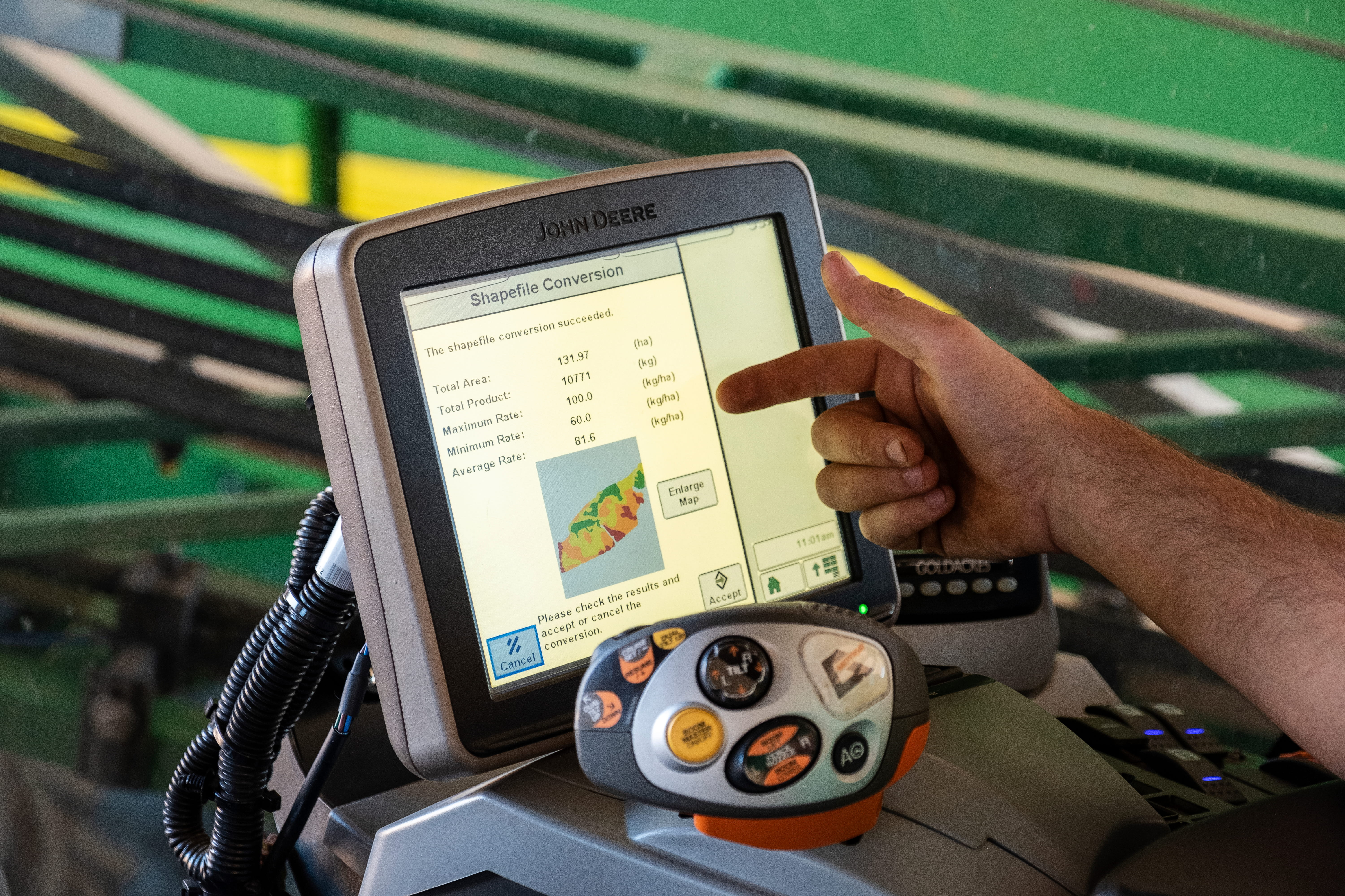



Variable Rate Technology helping make every dollar count
Precision agriculture has come a long way from the early days of adoption. Mallee farmers have been early adopters with this technology and are in fact leading the way in Australia with Variable Rate Technology (VRT).
A base data layer for any VRT map is extremely important. Our preferred base layer is an EM 38 survey of the paddock to help define accurate paddock zones. Paddock zones can be developed from many sources and they all vary in their accuracy. We have surveyed vast areas of the Mallee with EM 38 and are very confident with the results. The EM 38 maps are accurate and can be replicated over and over again, they do not change from year to year. There are some points to remember with EM 38 maps:
They are a very useful tool but not the be all and end all. Don't get bogged down in the science (paralysis by analysis). The interpretation needs to be accurate and relevant to the Wimmera/Mallee. Make sure someone experienced in EM 38 interpretation and agronomy handles your maps - an EM 38 map is only as good as the person interpreting it. They are addictive - once you map a paddock and study the results you will want to do more.
Other options for obtaining a base layer for a VRT map include elevation maps, yield maps, satellite images, GAMA Radio Metrics, manual zoning etc. Elevation maps are OK in some areas and can be a useful starting point but they do not provide accuracy. Yield maps in a dry season can be accurate as long as the variables such as nutrition, weeds, frost and crop establishment was the same across the whole paddock. Make sure that your historical treatments and methods are not influencing the yield map results. We like yield maps for assessing large on-farm trials and for checking VRT results
A base data layer for any VRT map is extremely important. Our preferred base layer is an EM 38 survey of the paddock to help define accurate paddock zones. Paddock zones can be developed from many sources and they all vary in their accuracy. We have surveyed vast areas of the Mallee with EM 38 and are very confident with the results. The EM 38 maps are accurate and can be replicated over and over again, they do not change from year to year. There are some points to remember with EM 38 maps:
They are a very useful tool but not the be all and end all. Don't get bogged down in the science (paralysis by analysis). The interpretation needs to be accurate and relevant to the Wimmera/Mallee. Make sure someone experienced in EM 38 interpretation and agronomy handles your maps - an EM 38 map is only as good as the person interpreting it. They are addictive - once you map a paddock and study the results you will want to do more.
Other options for obtaining a base layer for a VRT map include elevation maps, yield maps, satellite images, GAMA Radio Metrics, manual zoning etc. Elevation maps are OK in some areas and can be a useful starting point but they do not provide accuracy. Yield maps in a dry season can be accurate as long as the variables such as nutrition, weeds, frost and crop establishment was the same across the whole paddock. Make sure that your historical treatments and methods are not influencing the yield map results. We like yield maps for assessing large on-farm trials and for checking VRT results.
Connect with the right people near you and speak directly with your local team